A Trion P1 laser scanner was mounted on the roof of a car, with an RTK GNSS antenna installed at the base of the scanner.
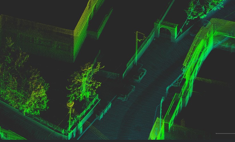
The vehicle traveled at approximately 20 km/h through an urban area. At each intersection, the operator made brief stops to record ground control points (GCPs) using both the Trion P1 app and an external RTK receiver. In total, the scanning session lasted around 6 minutes and covered nearly 2 kilometers. Initial visual inspection of the resulting point cloud showed promising quality and detail, although a full assessment of geometric accuracy has not yet been conducted.