drone-mapping-ppk-no-gcps
GPS, Φωτογραμμετρία

Achieving Centimetre-Level Accuracy with UAVs

Drone Mapping and Automated PPK with No Ground Control Points (GCPs): A Real-World Accuracy Assessment

Achieving reliable centimetre-level accuracy in UAV photogrammetry depends on much more than the drone itself. The quality of the GNSS observations, the post-processing workflow, the aerial triangulation, and the methodology used to establish independent check points all contribute to the final result.

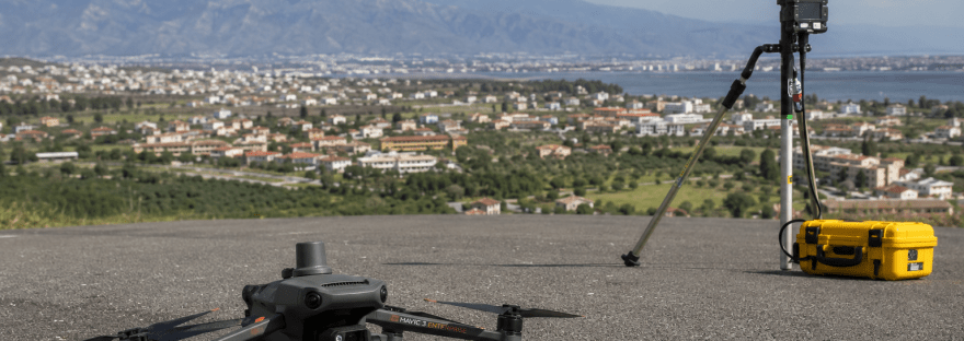
This case study presents a real-world photogrammetric survey performed using a DJI Mavic 3 Enterprise RTK combined with an automated Python + RTKLIB Post-Processed Kinematic (PPK) workflow. The objective was to evaluate the achievable absolute accuracy using a low-cost GNSS base station while validating the results with independently surveyed check points.

Συνέχεια ανάγνωσης «Achieving Centimetre-Level Accuracy with UAVs»
gnss-network-adjustment-python
GPS

GNSS Network Adjustment with RTKLIB and Python

Satellite positioning has become an essential part of modern surveying, but processing multiple GNSS sessions can quickly become repetitive. When several receivers observe simultaneously, manually creating every RTKLIB solution and then performing a network adjustment becomes both time-consuming and error-prone.

To simplify this workflow, I developed two Python applications that automate the entire process.

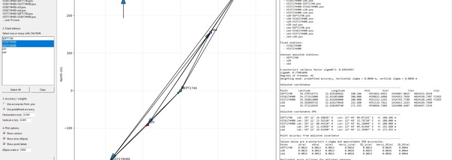
The first application performs batch processing of all available RINEX observations using RTKLIB’s rnx2rtkp.exe, while the second automatically builds and adjusts a complete relative GNSS network using Least Squares Adjustment.

This article presents the workflow together with a real test case.

Συνέχεια ανάγνωσης «GNSS Network Adjustment with RTKLIB and Python»
GPS

Μέτρηση φωτοσταθερών σημείων με RTK GPS

Η μέτρηση φωτοσταθερών σημείων είναι μια διαδικασία σχετικά απλή και μοιάζει περισσότερο με «εκδρομή» παρά με τοπογραφική εργασία. Αν αφήσουμε το άγχος για την επιτυχή ολοκλήρωση της εργασίας χωρίς να γίνει το παραμικρό λάθος και επιπλέον να επιτύχουμε την μέγιστη ακρίβεια των σημείων, τότε ναι θα μπορούσαμε να την χαρακτηρίσουμε εκδρομή. Συνέχεια ανάγνωσης «Μέτρηση φωτοσταθερών σημείων με RTK GPS»