
Drone Mapping and Automated PPK with No Ground Control Points (GCPs): A Real-World Accuracy Assessment
Achieving reliable centimetre-level accuracy in UAV photogrammetry depends on much more than the drone itself. The quality of the GNSS observations, the post-processing workflow, the aerial triangulation, and the methodology used to establish independent check points all contribute to the final result.
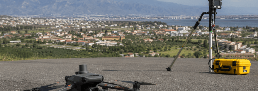
This case study presents a real-world photogrammetric survey performed using a DJI Mavic 3 Enterprise RTK combined with an automated Python + RTKLIB Post-Processed Kinematic (PPK) workflow. The objective was to evaluate the achievable absolute accuracy using a low-cost GNSS base station while validating the results with independently surveyed check points.
Συνέχεια ανάγνωσης «Achieving Centimetre-Level Accuracy with UAVs»
